ROUTE
two
A circular route edging the Titsey Estate and Oxted. Approx 5.5 miles. Moderate with some steep hills.
Turn left from Botley Hill Farmhouse car park and follow the road for around three quarters of a mile. When the pavement crosses the road, cross with it, but do take care!
After about three quarters of a mile, there is a bridlepath on the left. Take this, which is a broad farm track, and follow it down the hill.
In three quarters of a mile, there is a footpath on the left, over a stile; follow this, keeping to the left hand side of the field edge, over a hill.
When you arrive at another stile, cross it onto a country lane.
Turn left, then after a quarter of a mile, take another bridlepath on the left, which climbs a long slope of around a mile.
Continue to follow the track until it turns to tarmac; you eventually arrive at a crossroads.
Carefully cross the road, and continue in the same direction. Take care, because the road is very narrow, so do watch out for vehicles.
After 150 metres, take a footpath on the left. When the path forks after 30 metres, take the left hand fork and follow until you reach a stile. Cross the stile and you will find yourself on the southern face of the North Downs.
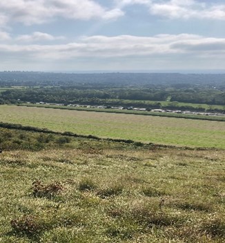
Walk due south (towards the M25 motorway), down the steep hill (take care as the path is at times difficult to find), until you come to a crossing point at the bottom of the hill - then turn left.
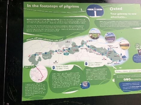
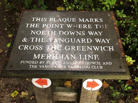
Follow the path in the same general direction through a series of kissing gates (passing information signs as photos) and over a stile until you reach Pitchfont Lane. Turn left up the lane and follow the track until it comes out onto Limpsfield Road.
Turn left and follow the road back to Botley Hill Farmhouse.
This route has been provided by one of our customers and we hope you enjoy it. It is correct to the best of our knowledge; if you have any suggestions or comments, please do email us. Also - we always love to hear about walking routes around Botley Hill Farmhouse, so feel free to send them too.

